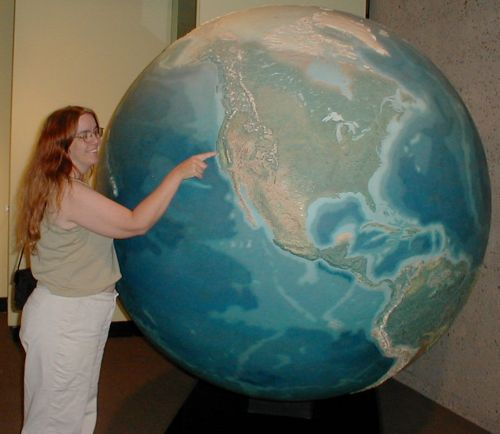
When I was little -- and I was little, very small for my age -- I would lie on my belly on the floor and read our huge National Geographic atlas. I have a more recent edition now, and it seems big, but not gigantic. When I was small, the atlas was gigantic. It was out of date, but I read it cover to cover. (Later, in the map geography component of ninth-grade social studies, I was puzzled at some of the changes. It hadn't occurred to me before that the map I learned when I was on my belly reading the atlas at age 4 wasn't static, aside from the big changes of the world wars that my mother pointed out.) I loved reading the legends and finding out where paper was made, and sheep were raised. I loved trying to figure out city populations from the sizes of the dots. We had a globe with a relief surface, I would run my fingers over the mountains with my eyes closed.
As an adult, I still love maps and atlases and globes, and as an educator, I have loved introducing them to children. I like to leave Me on the Map around a classroom, along with basic atlases (chosen according to the age of the child with durability in mind, if nothing else). For kids of kindergarten age, I like to draw small maps with them, of the playground, or the classroom, or even items on a table. From there, the street can be mapped, or the block, or a neighborhood, labeled with places important to the children.
It's not important exactly how they're introduced, except that materials are left around with ready access (inflatable globes are cheap and fun), and that the children's interests lead the way.
When I saw this picture, "Ian's Bedroom," I immediately wanted to be four, and to have wallpaper like this in my own room. I wouldn't paper a classroom like this (too busy, especially if the kids' own artwork is displayed), but I'd certainly paper a rec room or a bedroom or a cafeteria with this wonderful giant map.
INFESTATION
11 hours ago
