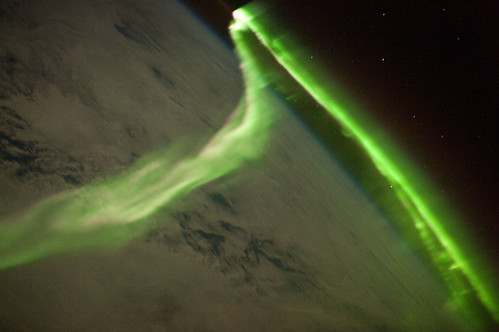
Aurora Borealis timelapse HD - Tromsø 2010 from Tor Even Mathisen on Vimeo.
The rate of timelapse if evident when the shots include moving clouds. In fact, where the clouds are thicker, the effect is glowing and magical.
A geographile is someone who really likes geography.
Aurora Borealis timelapse HD - Tromsø 2010 from Tor Even Mathisen on Vimeo.
Summer in San Francisco from Michael Winokur on Vimeo.

Driving directions to Honolulu, HI
14 days 22 hours
I-5 N
3,748 mi
California
1. Head west on Terrace Ave toward Tivy Valley Rd 266 ft
2. Terrace Ave turns slightly left and becomes Tivy Valley Rd 0.5 mi
3. Turn right at N Piedra Rd 3.8 mi
4. Turn right at CA-180 W/E Kings Canyon Rd Continue to follow CA-180 W 19.7 mi
5. Take exit 57A to merge onto CA-99 N toward Sacramento 132 mi
6. Continue onto CA-12 E 1.0 mi
7. Continue onto CA-99 N 31.7 mi
8. Take the exit toward San Francisco/I-80 W/I-5 W/CA-99 W 1.2 mi
9. Merge onto CA-99 N/Interstate 305 W 1.3 mi
10. Take the exit onto I-5 N toward Redding
Passing through Oregon
Entering Washington 757 mi
11. Take exit 169 for NE 45th St 0.3 mi
12. Slight left at 7th Ave NE 262 ft
13. Take the 1st left onto NE 45th St 0.7 mi
14. Turn left at Wallingford Ave N 0.9 mi
15. Turn right at N 34th St 292 ft
16. Take the 1st left onto Densmore Ave N 436 ft
17. Turn right at N Northlake Way 285 ft
18. Kayak across the Pacific Ocean
Entering Hawaii
2,756 mi
19. Continue straight 0.1 mi
20. Turn left at Kuilima Dr 0.5 mi
21. Take the 3rd right onto HI-83 W 12.4 mi
22. Continue straight onto HI-99 S/Kamehameha Hwy 6.5 mi
23. Slight left at HI-80 S/Kamehameha Hwy
Continue to follow Kamehameha Hwy2.1 mi
24. Take the ramp onto I-H-2 S 8.1 mi
25. Merge onto I-H-1 E 4.7 mi
26. Take exit 13B toward Halawa Hts. Stadium 0.3 mi
27. Merge onto I-H-201 E 4.1 mi
28. Merge onto I-H-1 E 2.3 mi
29. Take exit 21A for Hawai 61 toward Pali Hwy 0.2 mi
30. Keep right at the fork, follow signs for HI-61 S/Downtown and merge onto HI-61 S/Pali Hwy
Continue to follow Pali Hwy 0.4 mi
31. Continue onto Bishop St 0.2 mi
32. Turn left at S King St 0.3 mi
33. Turn left at Likelike St 446 ft
Honolulu, HI
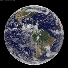




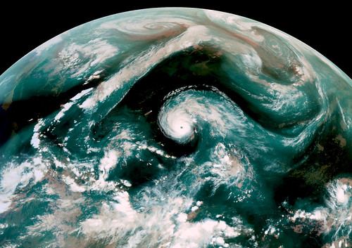
Aquavision False color image from GOES-E Satellite taken on September 2, 2010 0000 UTC.
RGB[IR4, IR2, WV] composite. In the image Category 4 Hurricane Earl moves northwest towards a frontal system draped across the North America that had deformed in to a straight wall. The blue water vapor outflow of Hurricane Earl swoops down to the SW, while the overall flow of the frontal system moves water vapor from the tropical system near Baha California up towards Greenland.
